

Drewsen Special Papers
An Interview with Iain Middleton, UK Managing Director, Drewsen Special Papers When Dennis Maps became the print provider for Ordnance Survey (OS), we began using paper…
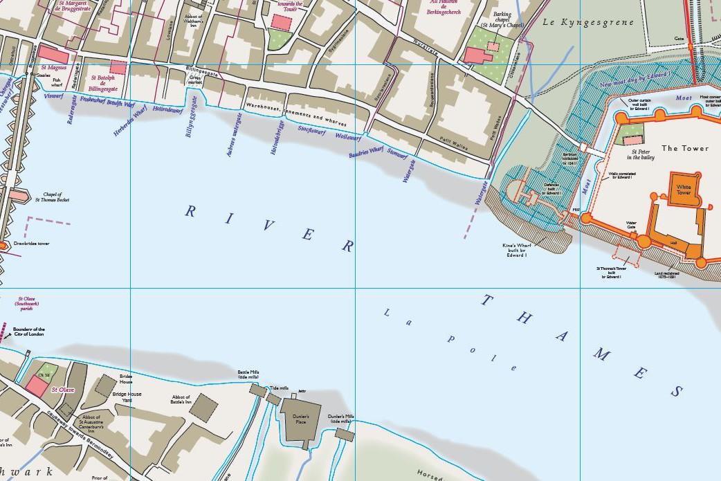
Medieval London Map
A look into the past with the Medieval London Map Our post about An Historical Map of York, published by The Historic Towns Trust, has been a consistently popular read…

Large Format Poster Printing
The process of printing a large format poster It appears in so many different environments - in shopping centres, on the wall at your child’s school, at sporting…
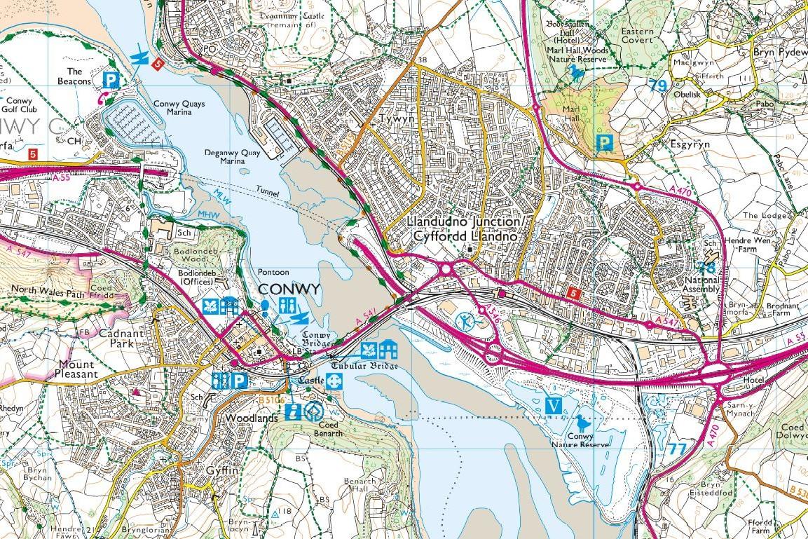
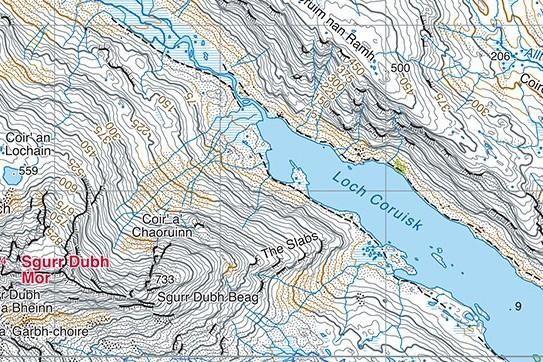
Ordnance Survey Map Symbols
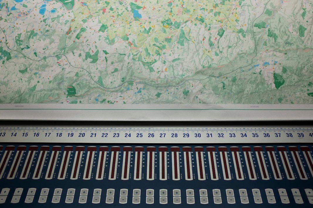
OS Map Symbols - Unlocking the Code A map is a graphic, two-dimensional visualisation of the world around us. The first Ordnance Survey (OS) map was published in 1801,…
HARVEY Maps
An Interview with HARVEY Maps CEO Adam King Adam, you're a part of the HARVEY Maps team, based in Doune, Perthshire in Scotland. It’s been an interesting journey for the…
NACIS Cartographic Conference
NACIS - a North American cartographic community Steve Burry, the Managing Director of Dennis Maps, enjoys representing the company in the global cartographic community.…

What’s So Great About Doing a Triathlon?
The Triathlon - swim, run, cycle! Christian Coates (he's the one taking the photo in the image to the left), a CTP Operator here at Dennis Maps, has already told us…

Greenland and the European Arctic Map
Greenland and the European Arctic map and climate change We are all well aware that the polar icecaps are melting, and the landscape of the Arctic is being changed…
National Park City Maps by Urban Good
An Interview with Charlie Peel about National Park City Maps We thoroughly enjoyed printing the ground-breaking London National Park City map for social enterprise…